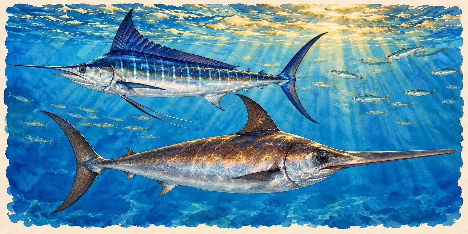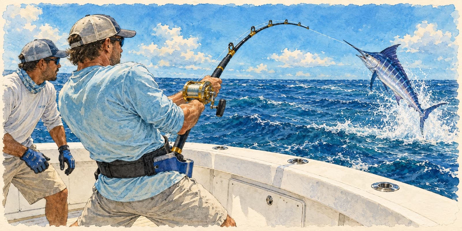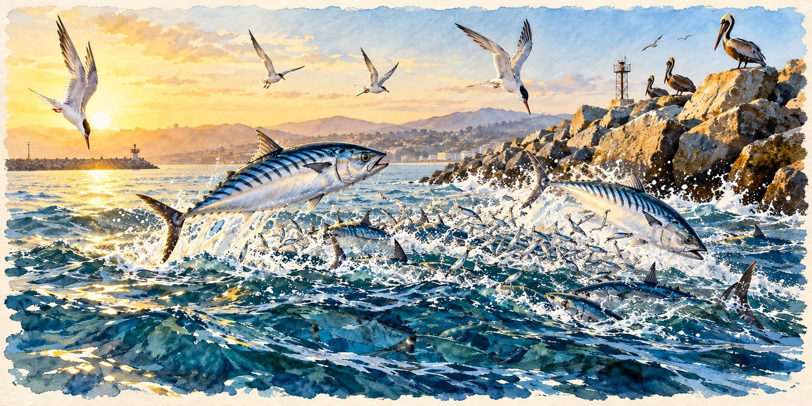
Marlin are the one fish in the Southern California Bight that most local anglers will chase for a whole season and never see. That is not bad luck. The Bight sits at the northern fringe of the marlin's range in the eastern Pacific, and the fish only push this far north when the ocean lets them. Knowing when and where that happens is most of the game.
This post covers what decades of catch records say about the season, the water temperature that opens it, and the banks where the fleet finds fish. For the basics on the fish itself, start with our marlin guide, and for how crews fish them, see how SoCal crews catch marlin.
A summer visitor at the edge of its range
Every marlin caught off California swam here from somewhere warmer. The species spawns in the central Pacific and off central Mexico, not in the Bight, and the fish that reach Southern California are feeding migrants following warm water and bait up the coast from Baja.
That is why the fishery swings so hard from year to year. A long-running review by state biologists in CalCOFI Reports put the annual sport catch anywhere from about 50 fish to about 2,300, averaging around 800, with the clubs weighing an average of about 750 a year between 1941 and 1980 (Bedford and Hagerman, 1983). Same ocean, same banks, a fortyfold difference between a lean year and a great one.
When the season runs
The historical window is July through November, and the biggest month is usually September. NOAA's analysis of more than fifteen thousand club-weighed fish found most of the catch landing between mid-August and mid-October (Squire, 1983).
Captains describe the edges a little more generously. Some talk about late June through Thanksgiving in a warm year, others about July through October with the odd June fish. Both are describing the same thing: the season opens when the water arrives and closes when it leaves, and the calendar only tells you roughly when to start looking.
Warm El Niño years stretch it at both ends. They also bring the rarer visitors. The 2015 El Niño produced blue and black marlin in Southern California, including a 662-pound blue off San Diego (Marlin Magazine), fish that normally live far to the south.
The number that matters: 68 degrees
If you remember one figure, make it 68°F. A NOAA study of 4,535 marlin landed at San Diego between 1963 and 1970 found surface temperatures at the catch ranging from 61°F to 73°F, with a mean of 67.8°F. Catches climbed sharply once the water reached 68°F, and stayed strong above 70°F (Squire, 1974).
The same study found something more useful than a single temperature. Fishing was best when the 68°F and 70°F lines ran unbroken from central Baja up into Southern California, a warm-water highway the fish could follow north. When those lines were broken, the two-week catch fell by nearly half.
So the question in early summer is not just how warm the water is off your port. It is whether warm water connects your port to Mexico.
What the water looks like
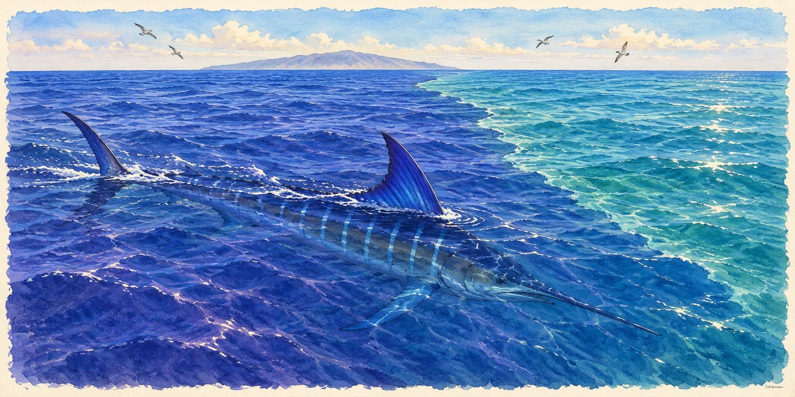
Temperature gets the fish here. Water color and edges tell you where they are on a given day. Southern California captains look for warm, clean water with a purple-blue cast, and especially for the line where it meets greener, colder water on a current or temperature break (Saltwater Sportsman). Bait gathers on that seam, and the marlin work it.
Tagging work across the Pacific shows marlin spend most of their time in the top 40 feet of the water column (ScienceDaily). That is why surface conditions read so directly onto the fish, and why so much of the local game is visual.
The banks the fleet works
A NOAA and state acoustic-tracking study followed marlin around the Bight and named where they were found: Avalon Bank six miles east of Avalon, Mackerel Bank, east of the Slide, the 14 Mile Bank (also called Lasuen Knoll), the 267 Spot about 20 miles southwest of Newport Beach, the 425, the water off Dana Point, and the west end of San Clemente Island (Holts and Bedford, 1990). Some of it is the same water the first rod-and-reel marlin anglers fished out of Avalon; see Catalina, the Tuna Club and the birth of marlin sport fishing.
Modern reports add the 152 southeast of Catalina, the 279 about 12 miles off Dana Point, and the 43 Fathom Spot. Almost all of it is high spots and edges between Catalina, San Clemente Island and the mainland, which is why the Newport and Dana Point fleets are so tied to this fishery.
San Diego has its own history with these fish. In the 1960s, most marlin landed there came from one box of ocean roughly 35 by 40 miles off the coast, and boats out of Point Loma fished the fish nearest home.
The center moves
The center of the catch does not stay put. NOAA's records show it shifting between years from off San Diego to the Dana Point and Catalina area, about 90 miles apart. Recent seasons show the same thing: anglers reported 2023's fish mostly around the Channel Islands with a short, choppy bite as the water kept changing, while 2024's fish held around Catalina with a longer, steadier one.
That is the honest summary of the fishery. Last year's spot is a starting point, not an answer.
Where the Bite Score fits
We are building marlin into the Bite Score now, and these records are the kind of thing it is built from: temperature, edges, structure and what the boats have been seeing. Until it lands, the guide and this logbook are where we will keep writing up what the water is doing. California keeps marlin sport-only, and limits can change, so check the CDFW ocean sport fishing regulations before you head out.