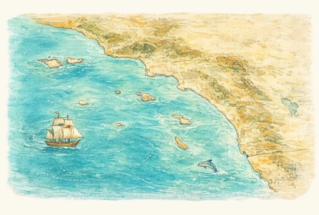
Nine home ports, and the water each one reaches
Where you leave from decides what you can fish. Each guide covers the grounds within range, the species that hold there, and the real shape of the season.
Point Loma
Gateway to the Coronado Islands and the offshore banks — the southernmost launch in the state, and the longest, most consistent season in Southern California.
The CoronadosRead the guide →North San Diego CountyOceanside
North County’s offshore express — a straight run to the blue water and San Clemente Island, with local kelp and reefs close enough for a quick morning.
The blue waterRead the guide →South Orange CountyDana Point
The shortest OC jump to San Clemente Island and the blue water — a quick launch toward the offshore game, tucked under the famous headland bluffs.
San Clemente Is.Read the guide →Orange CountyNewport Beach
Deep water close to the beach — the Newport Canyon drops off just outside the harbour, with the flats, Catalina and San Clemente Island all in reach.
Deep water, closeRead the guide →LA HarborLong Beach
Behind the longest breakwater on the coast — easy sand bass and calico close to home, with Catalina and the Huntington Flats in reach.
Summer sand bassRead the guide →LA HarborSan Pedro
The historic heart of LA sportfishing — the closest jump to Catalina, the Horseshoe Kelp, and the big summer sand-bass flats.
Catalina IslandRead the guide →Santa Monica BayMarina del Rey
The country’s biggest small-craft harbour, right on Santa Monica Bay — halibut flats, breakwater bass, and a straight run at Catalina.
Halibut flatsRead the guide →Oxnard · VenturaChannel Islands Harbor
The closest big harbour to Anacapa and Santa Cruz — quick island access, rich squid grounds, and a mixed bag of calico, halibut and white seabass.
Anacapa & Santa CruzRead the guide →Santa Barbara ChannelSanta Barbara
The north end of the Bight in the lee of Point Conception — a straight shot to the northern Channel Islands and some of the best rockfish and lingcod water in the state.
The northern islandsRead the guide →And the banks between them: 9 Mile · Cortes · Tanner · Catalina · the Coronados.
Score the water from your own dock
The chart only counts water your boat can actually reach and safely fish today.